The Cartography Commission of the U.S. National Section is led by Eric Van Praag (Esri).
Additional Cartography Commission members include:
- Wm. Matthew Cushing, United States Geological Survey (USGS)
- Robert L. Goodson, National Geospatial-Intelligence Agency (NGA)
- Christopher Hanson, NGA
- Lidia Lopez, NGA
- Roberto Lugo, USGS
- Miriam Olivares, Yale University
- John Nyberg, International Hydrographic Organization (IHO)
- Roger Payne, USGS
- Sergio Rodriguez, USGS
- Mike Tischler, USGS
- George Troop, NGA
The aims of the Cartography Commission are to:
- Update and develop modern cartographic infrastructure
- Transfer and exchange educational technology amongst disciplines related to cartography
- Effectively use the technology, processes, products, and other available information in the cartographic field
- Standardize cartographic procedures and techniques
- Encourage the use of cartography among PAIGH Member Countries and their specific needs
- Promote the coordination and development of geo-referenced information systems
- Endorse the education of specialized experts in cartographic fields
- Encourage collaboration among cartographic educational institutions of the Americas and related international organizations.
Recent activities of the Cartography Commission include …
- USNS members of the Cartography Commission have been working on standardizing three related geoportals for use in the Americas:
- CEPALSTAT is a statistical database and publication for Latin America and the Caribbean. Previously a statistical platform with no geospatial components, the refreshed application provides users the ability to browse and download various geospatially integrated demographic, economic, and environmental data, browse statistics, and view historical data for Latin American and Caribbean nations.
- The Americas Spatial Data Infrastructure (SDI) platform provides many of the same capabilities as CEPALSTAT, but for all member states of North and South America. The website includes geospatial resources, an Americas SDI geoportal, and a metadata catalog.
- The United Nations Committee of Experts on Global Geospatial Information Management (UN-GGIM): Americas webpage has also been revamped in the hopes that it could become a subsidiary website to the CEPALSTAT and Americas SDI platforms.
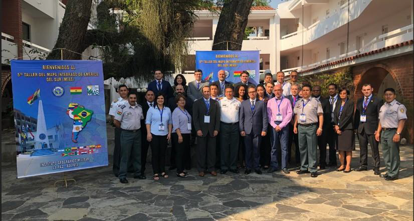
- Cartography Commission members attended the 5th Workshop of the Integrated Map of South America at the Instituto Geográfico Militar in La Paz, Bolivia.